PROJECT DETAILS
- Project No 1147
- Project Name Satellite remote sensing for the calibration of the WaterNSW Integrated Water Quality Model
- Lead Organisation WaterNSW
- Research Lead UNSW Sydney
- Main Researcher Dr Fiona Johnson
- Completion Year 2025
Project Description
WaterNSW is committed to investigating new water quality analytical methods and technologies, to determine the most reliable forms of water quality monitoring that give the best return on investment. To this end, WaterNSW is developing the Integrated Water Quality Model which will be another stream of information to strengthen their decision making in managing the Greater Sydney drinking water catchment. The Integrated Water Quality Model will provide a step change in how WaterNSW harness, use, and analyse information on water quality and quantity.
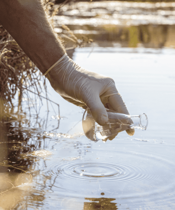
This project is investigating whether satellite remote sensing data can be used to calibrate the Integrated Water Quality Model, and to augment WaterNSW’s quantitative analysis of water quality parameters in drinking water catchments. It is well known that satellite remote sensing can provide high-resolution spatial and temporal data at near real-time, much of the imagery is free and publicly available, long-term records exist for time series analysis, and the data is considered reliable enough for operational and forecasting systems. As example, compared to grab sampling, satellite remote sensing can potentially collect data at a higher frequency, and this detailed data can be used to inspect water quality characteristics in inaccessible areas, as well as provide a broader view of reservoir health. From a research perspective, satellite remote sensing can be used to pinpoint the starting location of an algal bloom and track the spatial dynamics of the bloom, allowing the detection of nutrient sources in the catchments in addition to algal trend analysis.
The intended outcomes of this project are to:
- Understand whether the satellite remote sensing data is a suitable calibration tool for the Integrated Water Quality Model and the results of the calibration compared to other methods such as grab samples and in-situ monitoring e.g., chlorophyll-a sensors.
- Describe and understand the algal bloom movement evaluation process and the outcomes of the methods developed.
- Understand methods used for trend analysis and the outcomes of trend investigation.
The investigation of the utility of satellite remote sensing in catchment model calibration is an emerging area of research within Australia. As such, there is a high likelihood that the publication of these results will be of great interest to the scientific and modelling communities.